Scope and conditions
Confirm the roof areas, access, intended audience, airspace, and whether thermal conditions are likely to support useful data collection.

Commercial roof & thermal documentation
Aerial RGB imagery and radiometric thermal data collection help roofing contractors, property managers, and facility teams across Indianapolis and Central Indiana review large roof areas, organize observations, and communicate more clearly.
Visual first, thermal where it fits
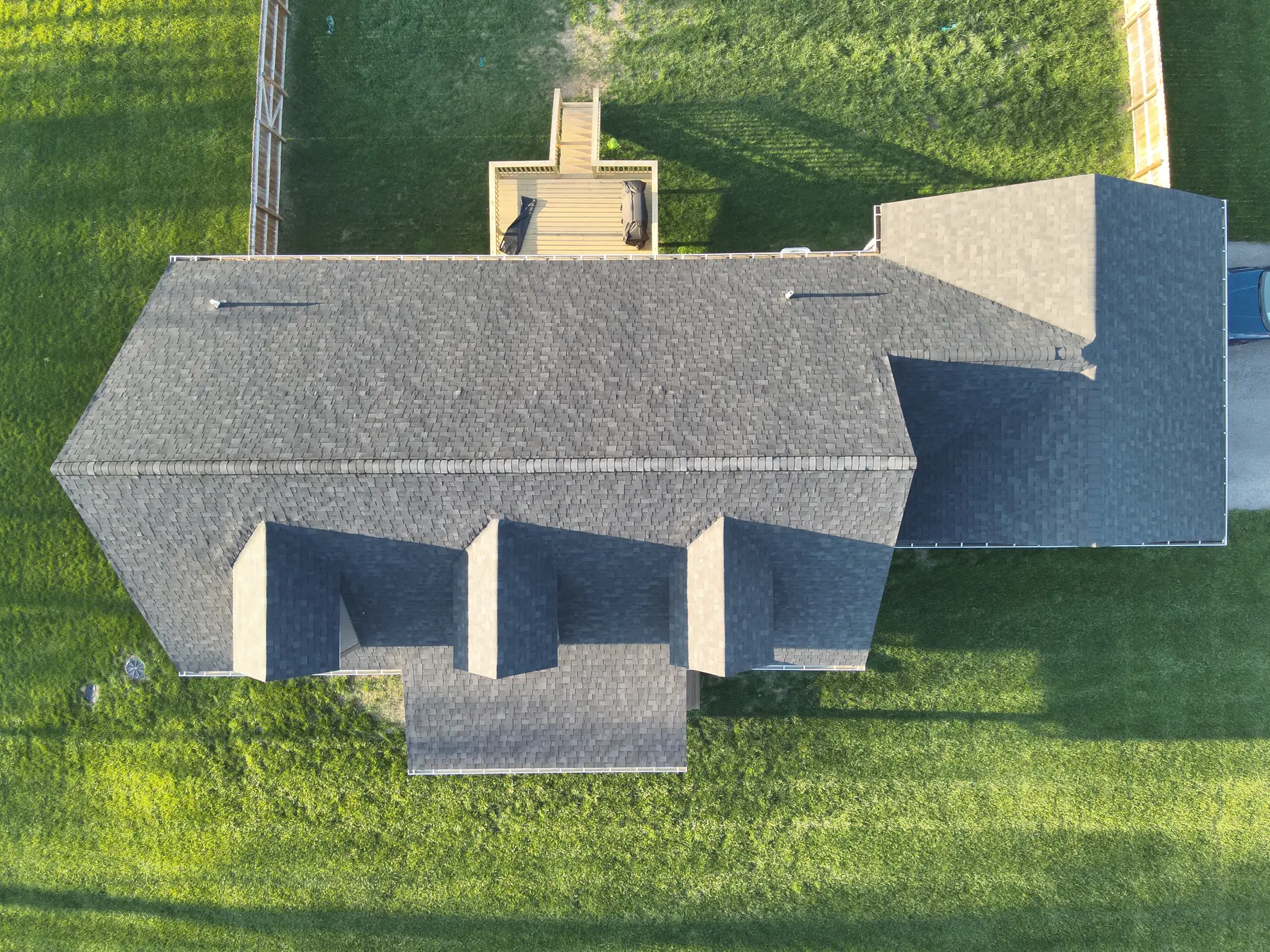
ECM collects and organizes imagery for the people responsible for evaluating the property. Broad overviews establish layout and context, while closer RGB views document visible areas selected during project planning.
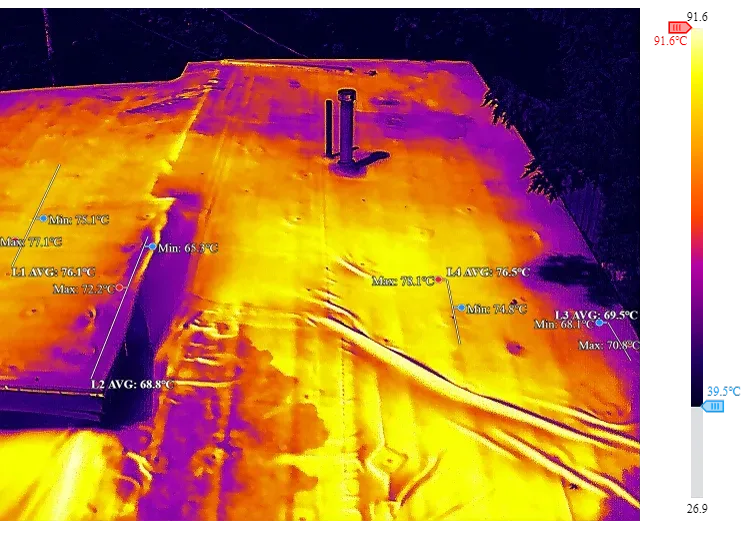
When timing, weather, roof construction, and environmental conditions support it, radiometric thermal capture can add a second dataset for review by a qualified professional.
Real documentation examples
The deliverable is more than a single overhead image. A roof project can combine broad orientation views, closer visual references, and processed thermal examples in one organized record.
How the work is structured
Each project starts with the roof, the people reviewing it, and the decisions the imagery needs to support. The capture plan is then built around that intended use.
Confirm the roof areas, access, intended audience, airspace, and whether thermal conditions are likely to support useful data collection.
Capture overall layout, orientation views, transitions, penetrations, and agreed areas of visual interest.
Collect radiometric data at the planned time when roof type, weather, solar loading, and operating conditions are suitable.
Return files with clear visual references so contractors and facility teams can review, discuss, and preserve the record.
Built for professional review
Review broad roof context and selected areas before combining the imagery with hands-on evaluation and trade expertise.
Maintain a current visual record for planning, communication, recurring documentation, and contractor coordination.
See the roof in context and follow the discussion without needing direct access to every area of the property.
Discuss the roof
We’ll determine the useful coverage, the right timing, and whether visual-only or visual-plus-thermal documentation fits the project.