Ground Photography
Detail and context views that complement the aerial record.
Services
Based in Greenwood and serving Indianapolis and Central Indiana, ECM combines aerial, ground, thermal, 360°, and mapping capture into organized deliverables that help commercial teams review conditions, communicate progress, and preserve a clearer project record.
Commercial project imagery
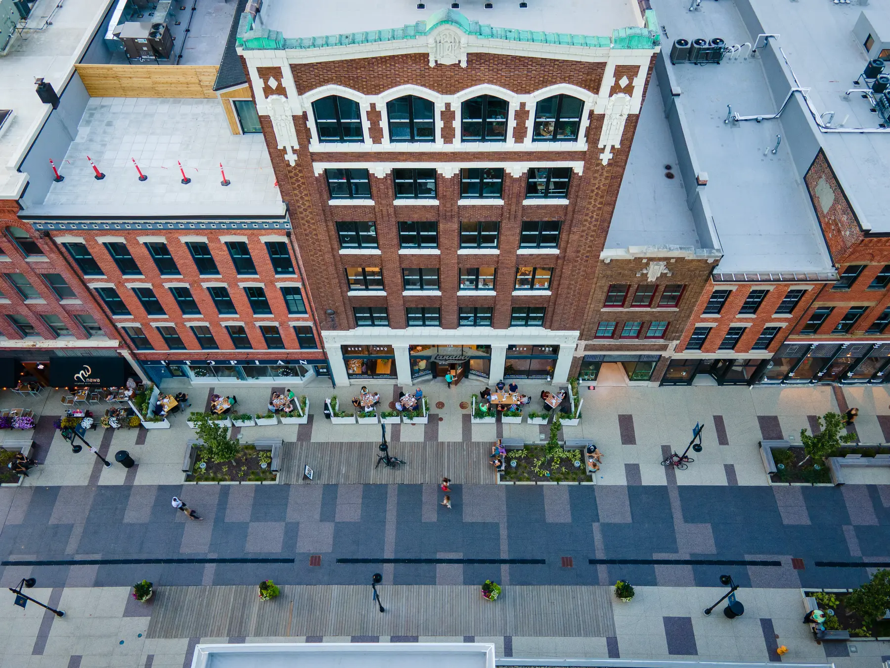
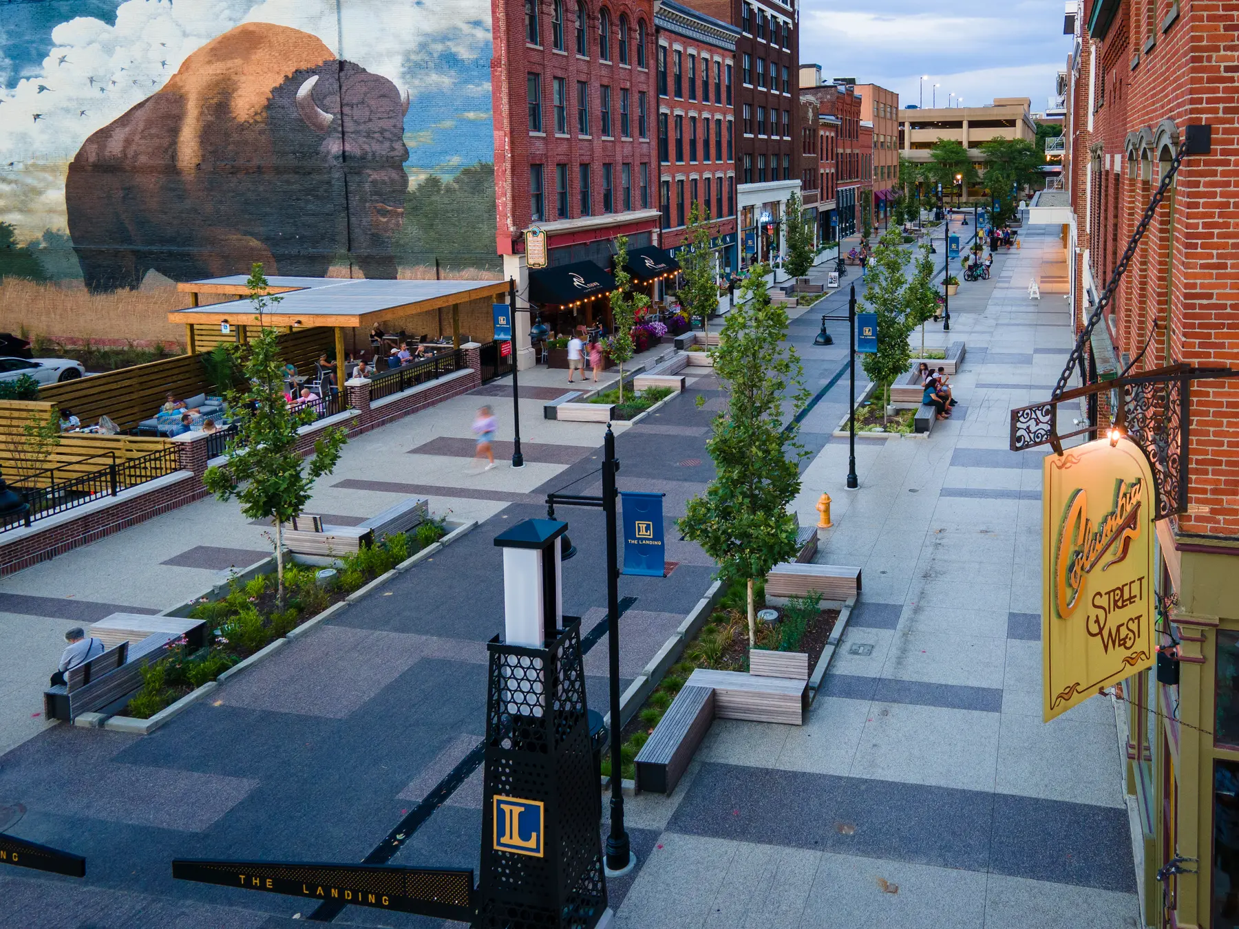
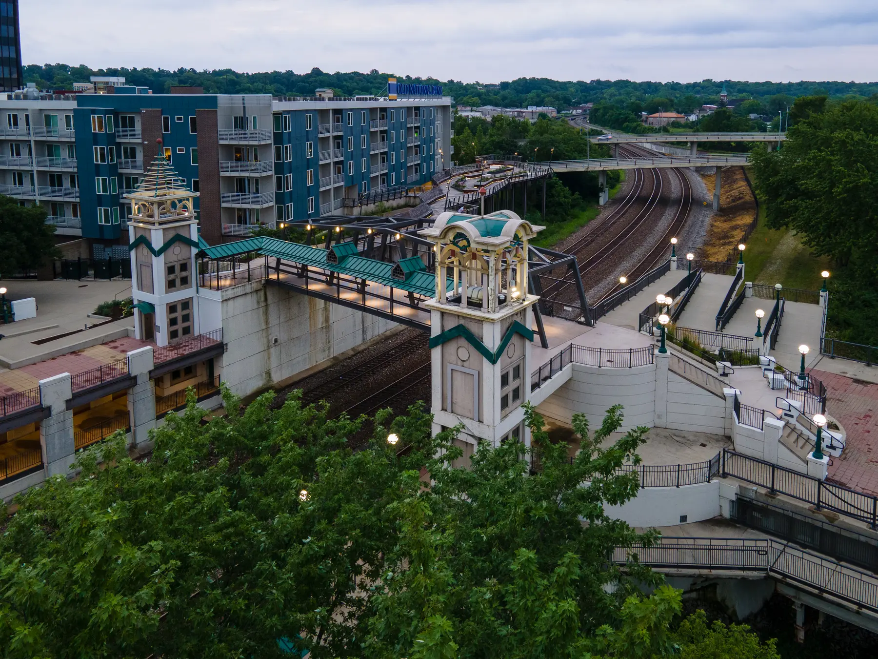
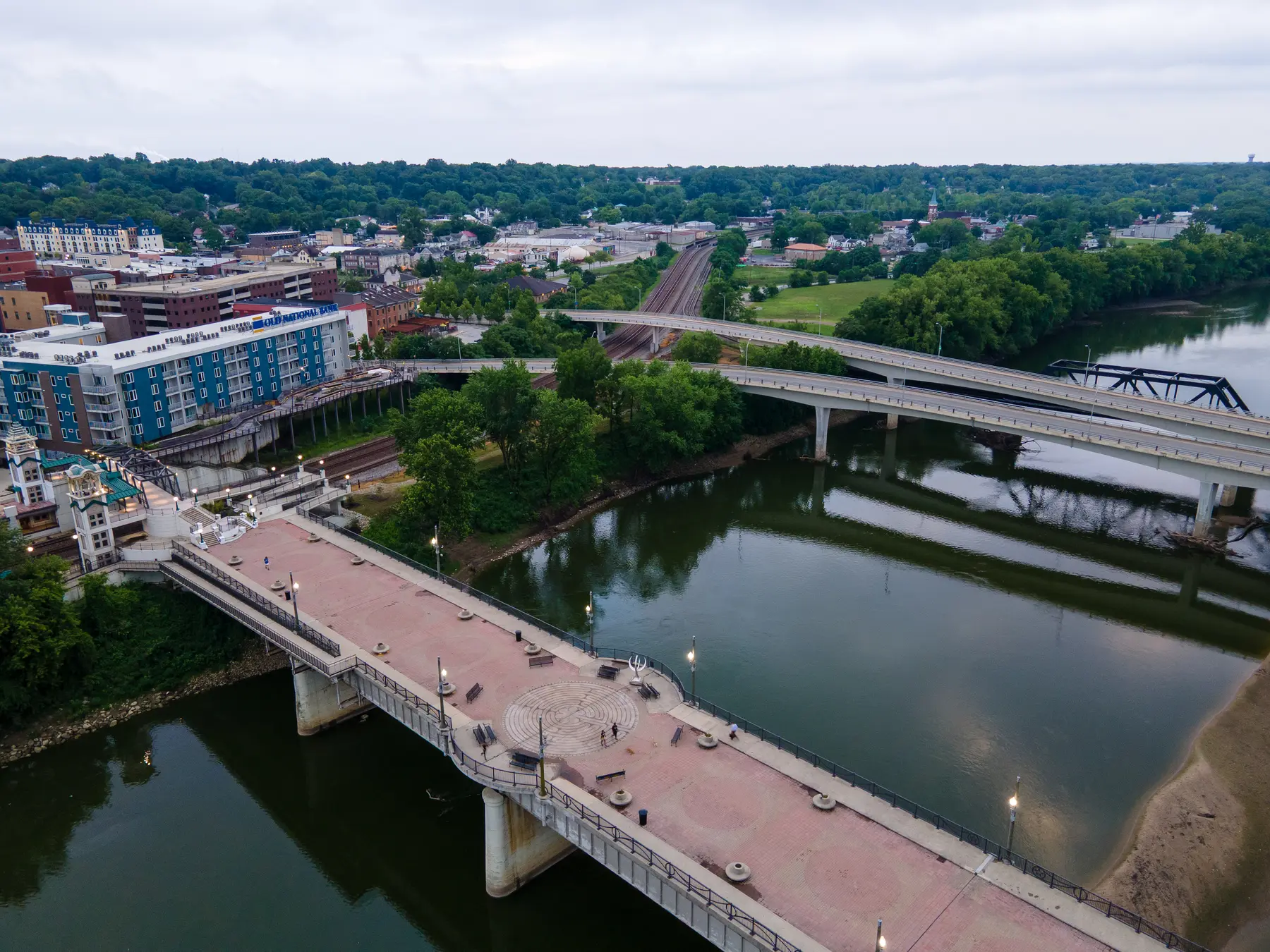
ECM can add polished aerial context and property imagery when a project reaches completion, or when an existing commercial property needs a current visual record.
Primary services
The right mix depends on the site, the audience, and how the material will be used.
Repeatable aerial and ground capture, milestone documentation, and date-organized delivery for active projects.
Explore service →RGB roof imagery and thermal data collection that support roofing contractors, property managers, and facility teams.
Explore service →Orthomosaic imagery and visual site mapping for planning, communication, and documentation.
Explore service →Supporting capabilities
Supporting options are incorporated when they add useful context—not simply because the equipment is available.
Detail and context views that complement the aerial record.
Broader visual context where a single frame cannot tell the full story.
Curated photography and video for major phases and stakeholder updates.
Hole-by-hole aerial flyovers and supporting course imagery for websites, social media, and golfer orientation.
Purposeful exterior imagery for properties and specialized commercial settings.
Scope first
Before capture, ECM identifies who will use the material, which viewpoints matter, whether repeat visits are needed, and how the files should be organized. That keeps the result focused and easier to use.